Thursday, August 4, 2011

Allegheny River PA, Kayaking

July 30-31 I took a paddle trip with some folks from the Trumbull Canoe Trails Club out of Youngstown Ohio. It was a fantastic trip and we got to paddle through some of the most remote parts of the Allegheny River in Western Pennsylvania. It was the first time I've been to PA and the more I see of the North East the more I become a fan. The river itself was crystal clear in most parts and the temp was nice enough for a quick dip at the end of the day. It was only a 2 hour drive from Medina where I live. I look forward to exploring more of Pennsylvania in the future, hopefully with the family next time. 

Only a two hour trek in to Western PA. There is much left to explore of the SE mountainous parts of the state
Around 24 miles or so with the campsite just short of half way. 


We put in about 4-5 hours the first day and about 6 solid hours the second day finishing in the early afternoon. I would have liked to have spent quite a bit more time on the water but the guys I was with had these super long race-like yaks and seemed to be in a hurry so I paddled my much wider tank-like yak as hard as I could to keep up with em. They were patient though and waited for me in the rapid sections.

The Allegheny 5; Matt, Aaron, Jim, Jim, Me
Put in at O.A.R.S. in Franklin PA. We used Outdoor Allegheny River Services for the shuttling and after getting lost following a detour to our parking area we eventually made it back and hit the water and were underway

Remnants of an old bridge just south of Franklin


Lunch break day 1. Come to think of it, we didn't even take a lunch break on day 2...

Stopping to check out an island for a potential camp site. Super clear water the whole way was super nice.


This guy used my boat as an aircraft carrier attack platform. As he sat there I looked to my right and saw this medium sized green moth descend down and touch the water then become airborne again and flew behind me. As I looked over my left shoulder up flew that dragonfly who snatched him right out of the air, then he landed on the back of my boat and proceed to consume him as he chilled out miles (in dragonfly distance) from the shore. Crafty little fella.


Ahhhhhh finally made it to camp. Going on only 3 hours of sleep I hit the sack and slept for about 4 hours in to the evening.


Early morning sunrise and we're back on the water.

Kennerdell Bridge, about the half way point on our journey.


That steam rising up and filling the valley was the neatest part of the whole trip.


This part, near the end, was the nicest part under water. There were other kayakers fishing there catching small mouth bass and the grass just waved in 4-8 foot depths with a fairly mild current. I just wanted to take the kids swimming here with goggles and snorkel through the bright green grasses.
A sweet rope swing along the last one mile stretch before Emlenton.

Emlenton bridge take out with Interstate 80 in the background.

It was my first trip down a river in a kayak, having only been down one river before in my old canoe. There were only two rapids sections that produced waves high enough to completely drench me and fill my kayak with a few inches of water. It was pretty refreshing but if I were planning to run rivers with waves much bigger, and I do plan to, I will be investing in the spray skirt to keep the water out!

Tuesday, July 19, 2011

Mohican SP Trail, MTB

I ventured down to the Mohican State Park to see the best of what Ohio's mountain biking trails has to offer. It is claimed to be the best trail in the whole state and I am very fortunate to have it only an hour's drive from my house. The trail is an intimidating 24 miles long with significant elevation changes considering our location. Determined to experience the fullness of this trail's outdoor splendor, I rode away from the car expecting the trail to challenge me, and that it did. 5 1/2 hours later I barely made it back!

Such a long trail means a lot of pictures!


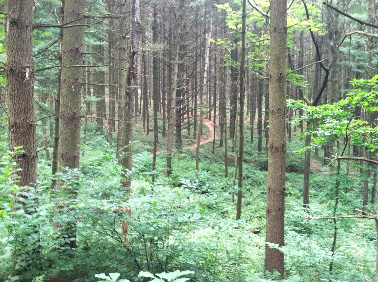
 These trees seem to tower over two hundred feet in to the air.


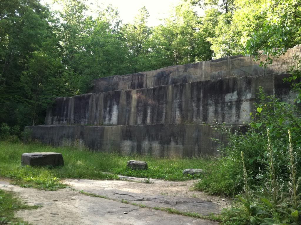
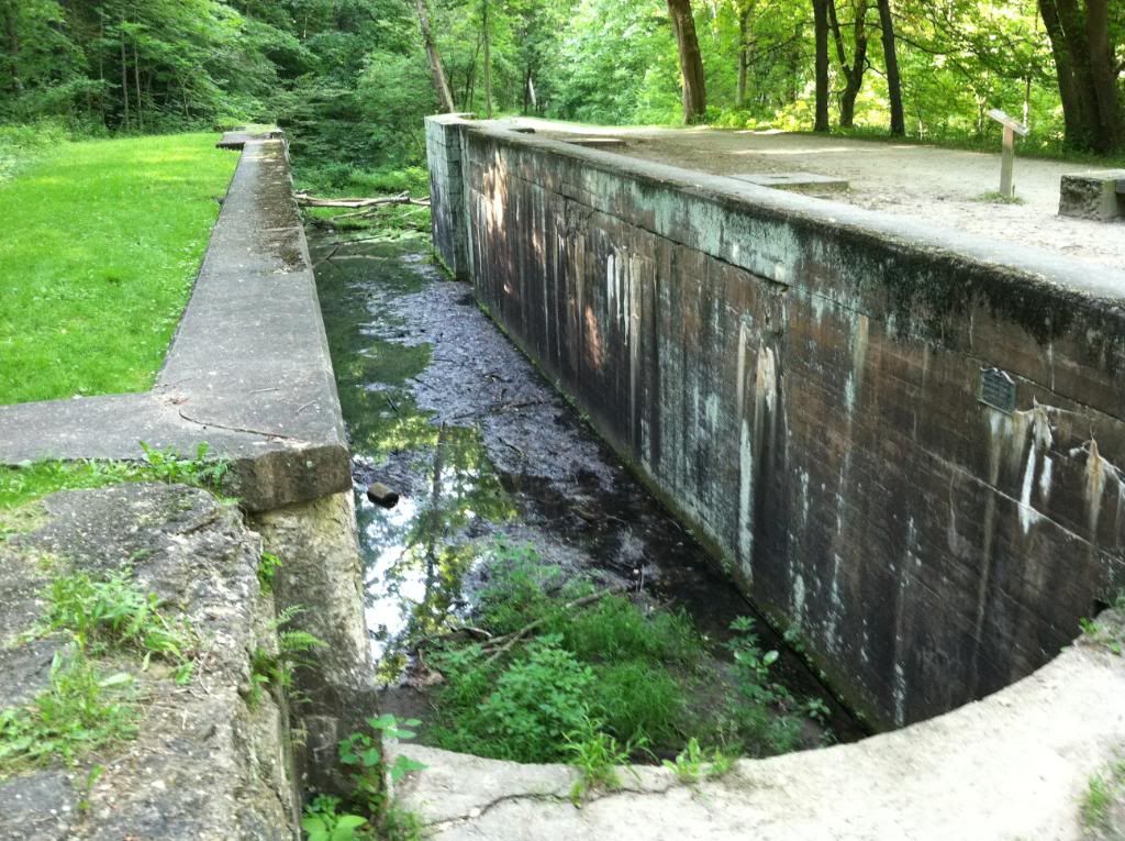
 Deep cut over grown draws give you a feel of just how old this place is.
 This picture below doesn't do the place justice. Here I had to stop because it was the biggest place I felt on the whole trail. The draw is so deep and the trees are so tall you really feel small and insignificant.
 These guys caught my eye and I nearly missed them. I have seen tree fungi before but never with such vivid coloring.

 Such a diverse area, the flora changes so much from one region of the trail to another.
 My trusty steed who I'm pleased to say performed flawlessly!
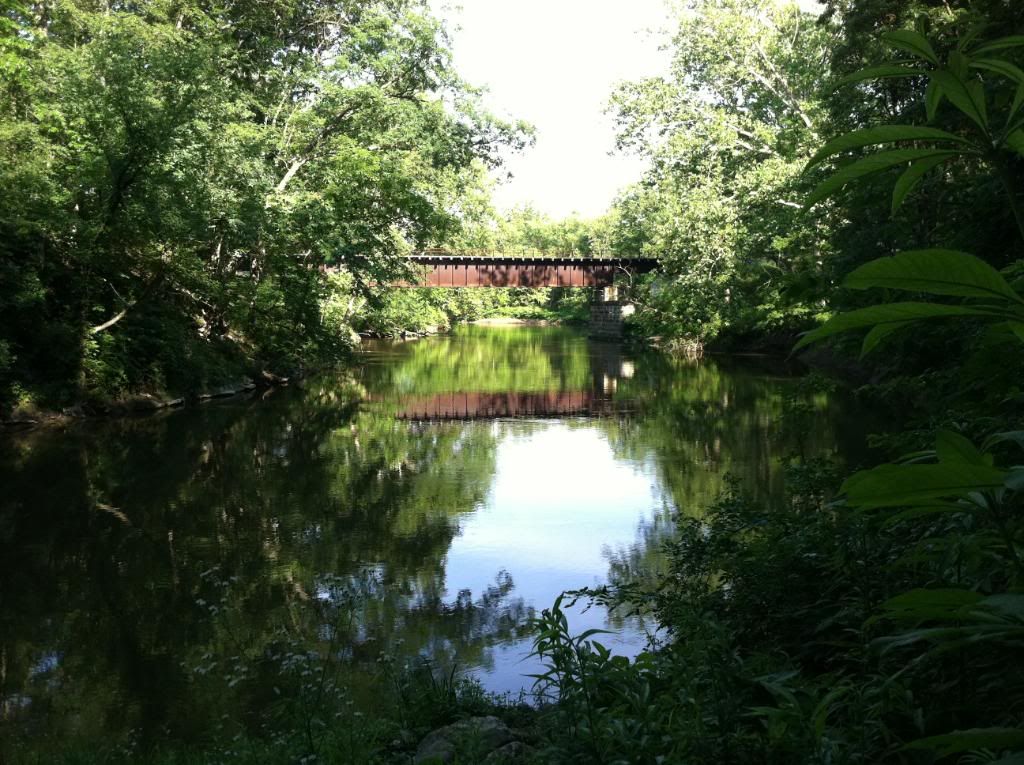
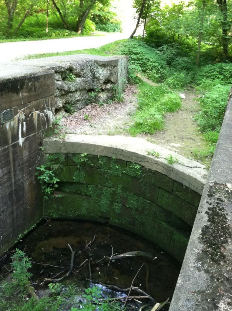
 Here, just passing the 11th mile marker would have to be nearly my favorite mile stretch. Well, there are so many to choose from, at least one of my fav's. Killer windy descent down to the covered bridge.


 The ferns are about waist high in certain parts.
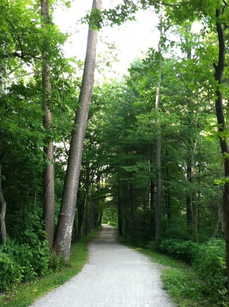
 This part was great too, the dirt has that red pine needle tint for a few miles.
 Whew! Only 6 more miles to go...
 The moss is as soft and wet as a sponge. Feels almost like the NW rain forest region of the states.
 Not too many rocky sections, which I decided I'm glad for. A few sections were risky and I'll admit I had to get off and walk down more than a couple of em. Only the real scary ones of course ;-).
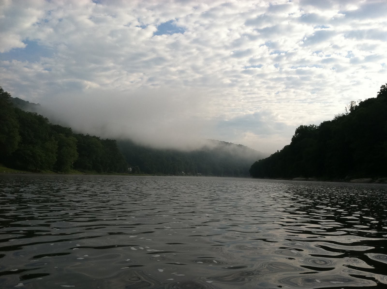
 I snapped this shot looking down the near vertical slope to the river about 200-300 feet below.
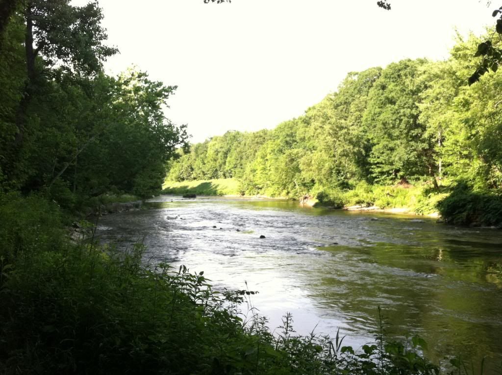
 Back down in the bottom of the valley on the last couple mile stretch.

 When I set off I knew it would be a physical endurance challenge but if it had been a few miles longer I don't know if I would have made it. The trail can be broken up in different sections and next time I think I'll pick only one at a time.

I can say that I was blown away with the enormity of the forest and when the hills fade away in to the trees you really get the feeling that you're in the mountains. There are so many things to do and explore aside from biking--camping, hiking, fishing, kayaking and more. Certainly the most beautiful place I've experienced here in Ohio yet. I can't wait to go back and I can't wait to take my family there!

Sunday, July 17, 2011

West Branch SP, MTB

For my next ride I headed off to West Branch State Park which is about an hour's drive east of me. This place is amazing. I wasn't expecting much as it seemed to be pretty flat out there but the trails have enough elevation to keep it fun. The part I rode runs along the shore line of Michael J Kirwan Reservoir for a few miles. There's still much to explore out there but this route took me about an hour.


 The trail hugs the shore line so there are a lot of inlets like this with wooden bridges over the creeks leading in to them.

Ferns on the forest floor in the afternoon sun


About a half mile in I saw a sweet tree root to jump off but landed a little off kilter and proceeded to kareen off the trail down in to the briars, fortunately bailing off and staying up on my feet. I feel this is going to get dangerous hehehe.

  
Low light blurry pic, but cool windy bridges


It was a nice afternoon ride which I would like to have gone on further but it started to get dark and I had a straight shot back to the car. I'll be going back there soon. Maybe for a Kayaking/Fishing/Biking campout!


Family, I wish you guys were here, there's a lot of fun to be had in beautiful NE Ohio! I can't wait to share it with you all.

Medina Reagan Park. MTB

I got to pick up my bike from Eddy's in Stow the other day before work. I brought it in to work that night and changed out the pedals and I hit the Medina Trail first thing in the morning.


Eddy's Bike Shop in Stow
My iphone camera doesn't take real great pictures in low light so please excuse the quality. This is the Medina Trail which is located a quick 5 minute ride from my house.


Dense Forest
Windy Trails


No Mountains Here But Good Elevation Changes
Some Deer. I get up close to all kinds of wild life in the woods. I was about 6 feet from another one as I zipped past him and he turned and ran.


Medina's Reagan Park Trail is about 9 miles long with enough different types of terrain to keep me busy for quite some time.


Monday, July 4, 2011

Deep Lock Quarry

I took a short trip down to this quarry in the woods in the Cuyahoga NP the other day.

The tall trees cover this section of the Erie Canal Tow Path Trail. I believe they used to tow boats up the canal, which runs along side the trail, with cattle by ropes from this trail.

Nice shady hiking trails.

There were all these random mill stones strewn throughout the woods here.

Cuyahoga River
The large quarry they dug stones out of.
This is the deepest lock of nearly thirty which run along the path.
  
Now its quite the bullfrog habitat.