Wednesday, May 8, 2013

Ben Lomond Face, RH Draw


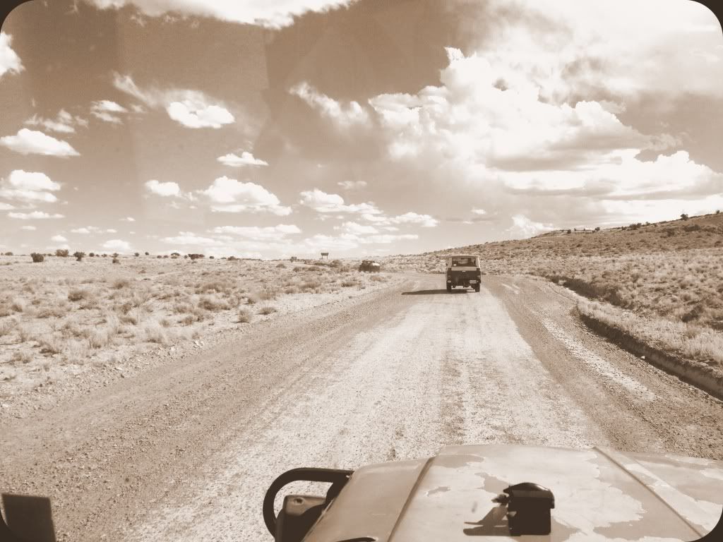
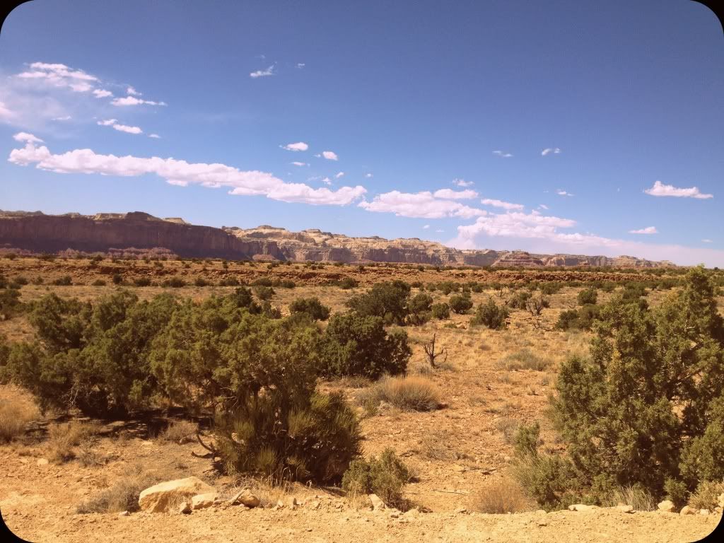
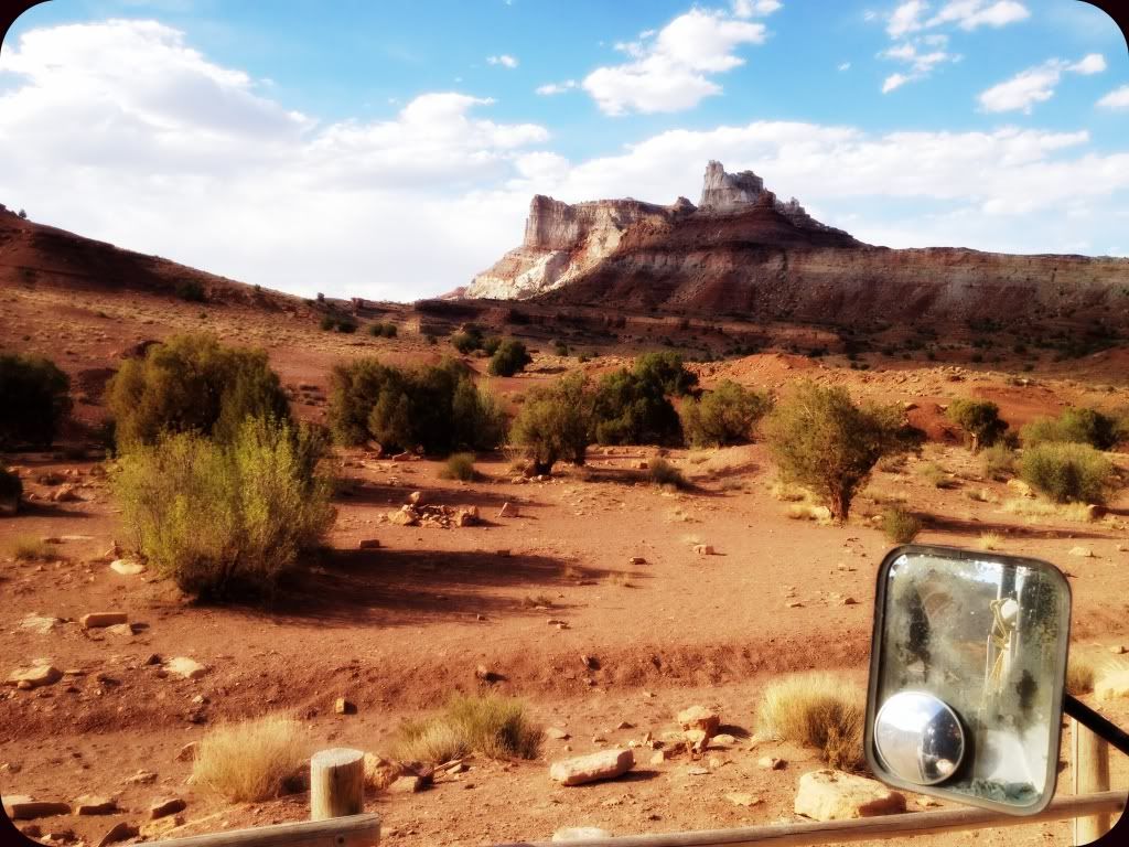
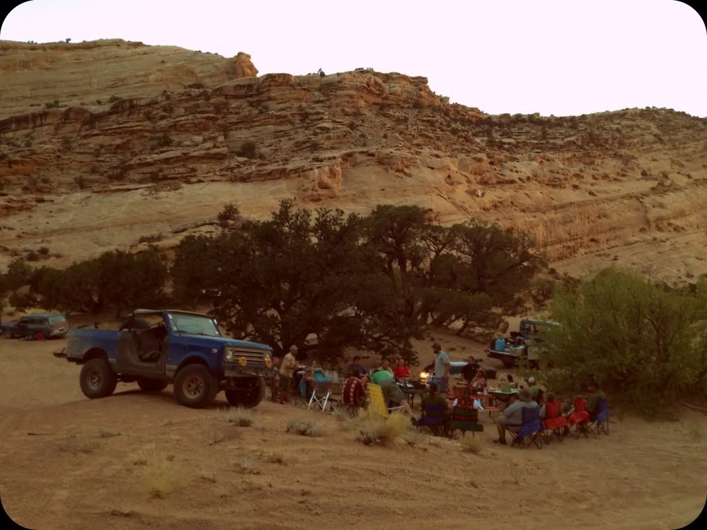
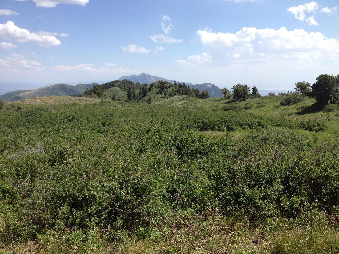
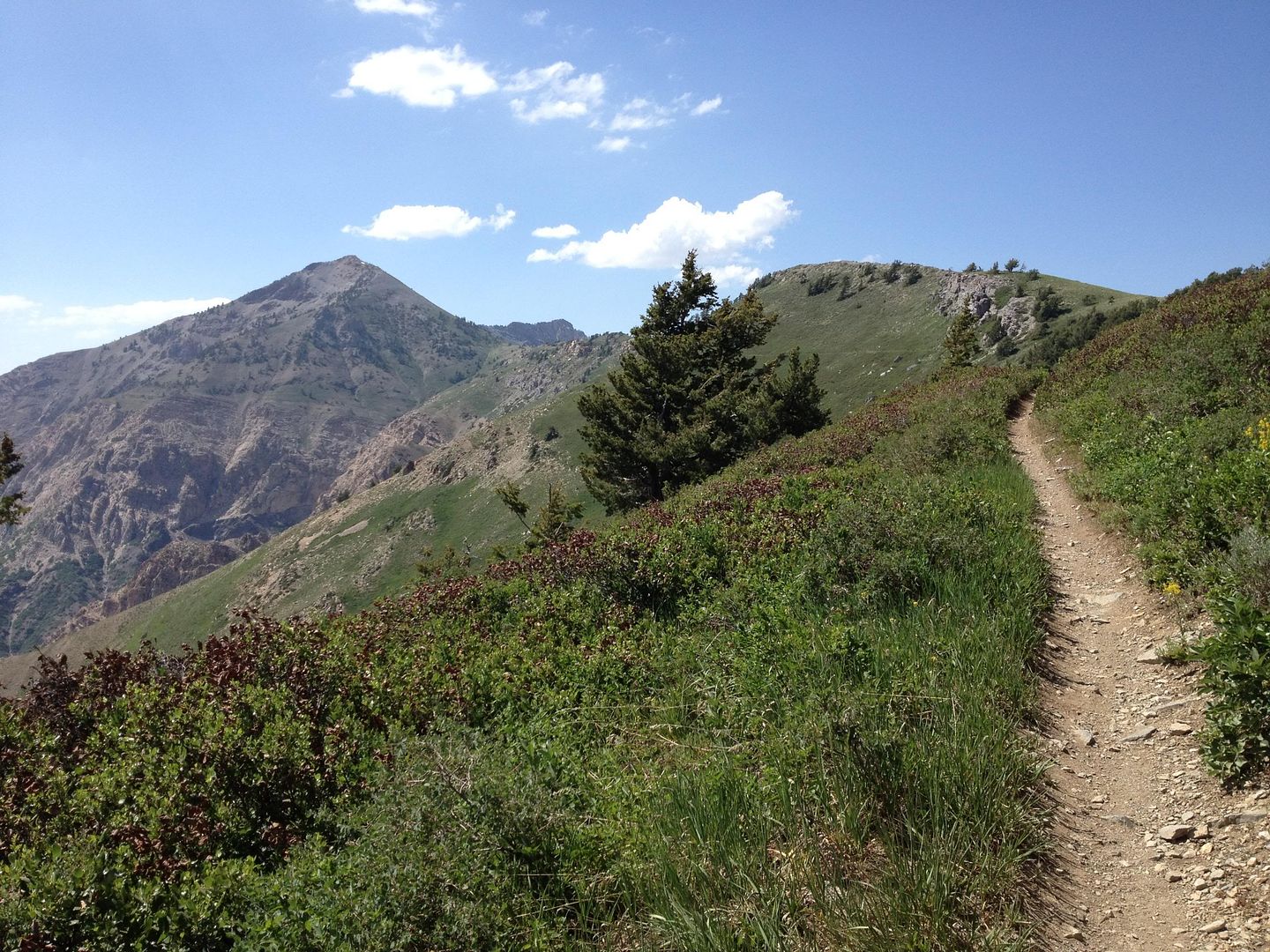
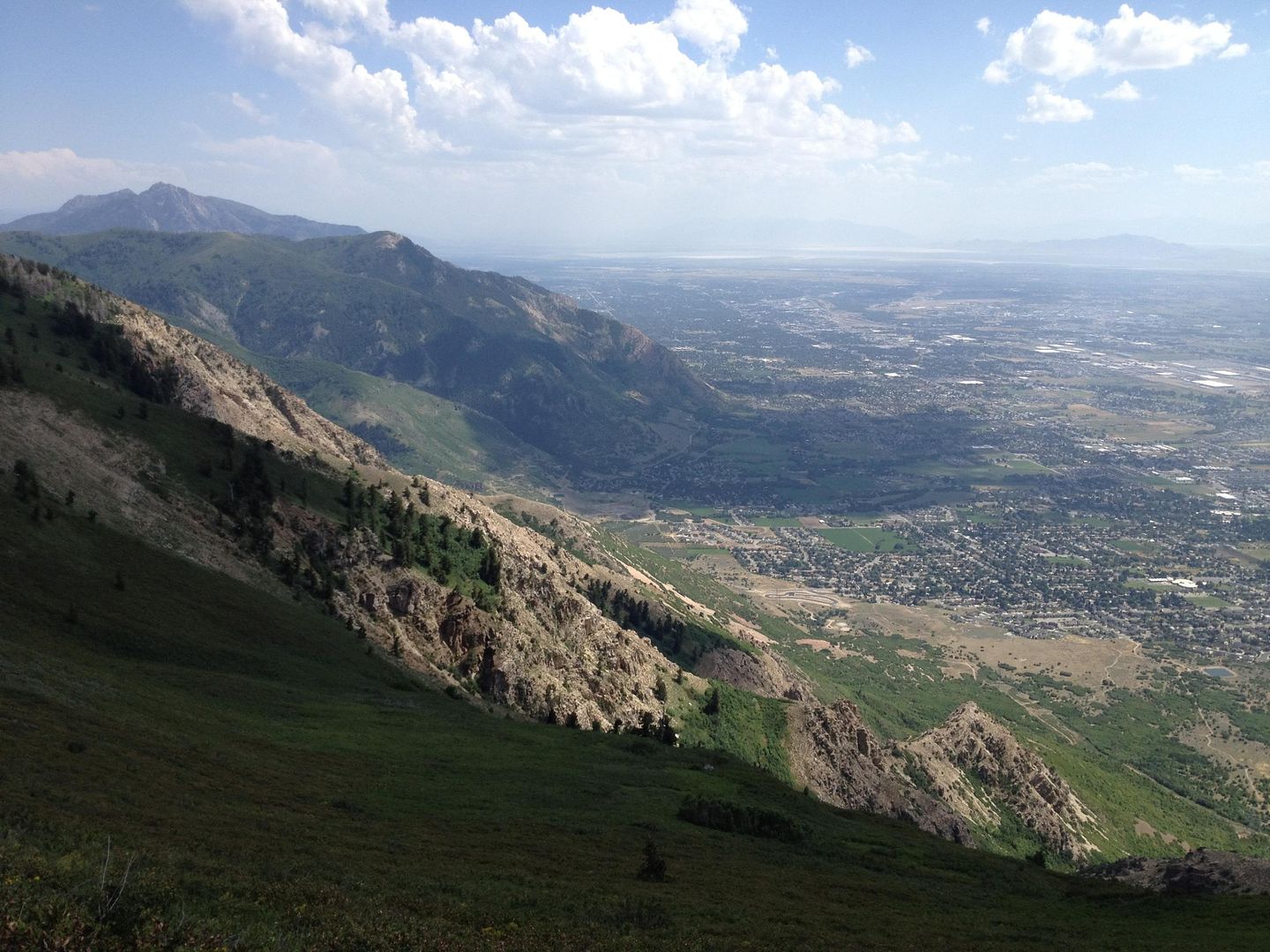
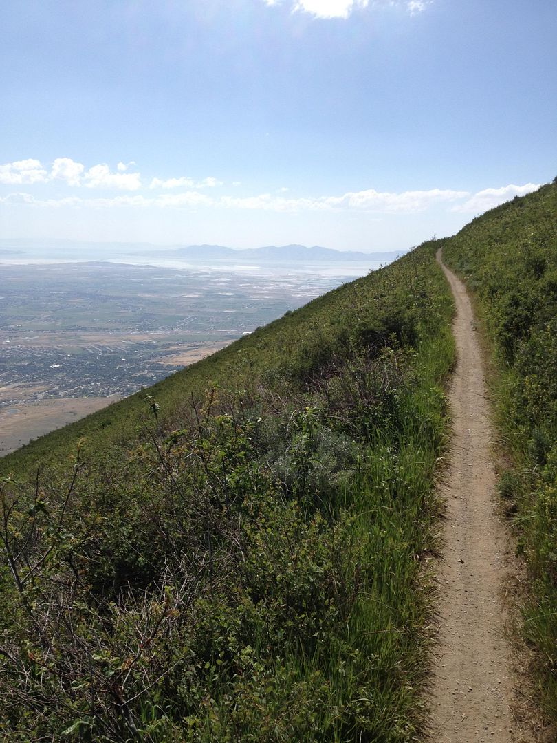
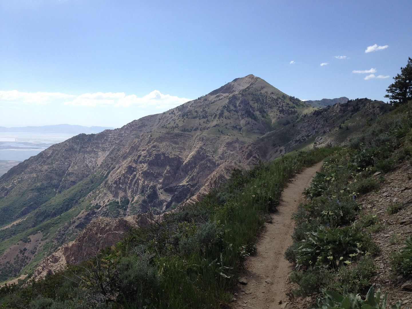
Rusty and I were bored yesterday and decided to set off for a hike up one of the draws of the peak that sits in front of our house.

Here we are on the power line trail shortly after parking. You’ll notice these power lines in the photos from above.
1

We weren’t too sure which draw was going to lead us to the one we wanted, and with only minimal backtracking and brush busting we managed to find our way to it and this site that they are creating for a runoff retention pond.
2

As you will notice, here and in photos ahead, the amount of runoff that must come raging down this draw in a heavy downpour is rather dramatic.
3
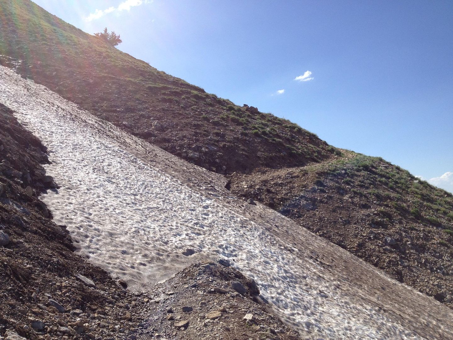
The first little waterfall and patch of snow we encountered.
4
The remaining snowpack is rather wet and couldn’t hold my weight, but Rusty had no problem.
5
A much appreciated pool. A few degrees warmer and I would have been in there with him!
6
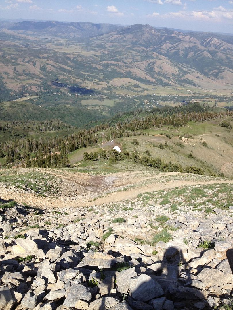
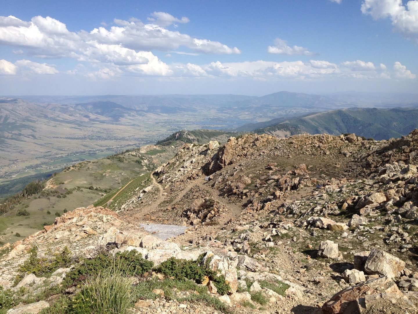
First shot back down. You can see the power line trail and the huge water path we climbed to get to this point. Here we are finally on the rocks that we set off to put our hands and feet upon.
7
A little farther up. All rockies!
8
I tried to ski down on some snow on the edges here and there and only sunk to my waist. Seeing an 8 foot hole in the middle of one of these patches told me I didn’t want to be anywhere near the middle of one.
9
Awesome. Looks like a sail.
10
11

Rusty the conqueror!
12

He passed through this opening with ease but rather than scratch myself all up I just went up and over a couple of broke away boulders.
13

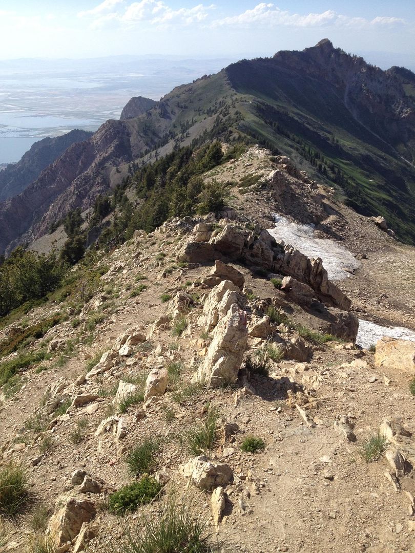
I could spend days just sitting up here in these rocks.
14
15

Cool heart shaped snow patch.
16
17

We really had no intent of reaching the summit this day, and it would have been another couple of hours at least. But we did want to reach this last visible waterfall.
1819
20
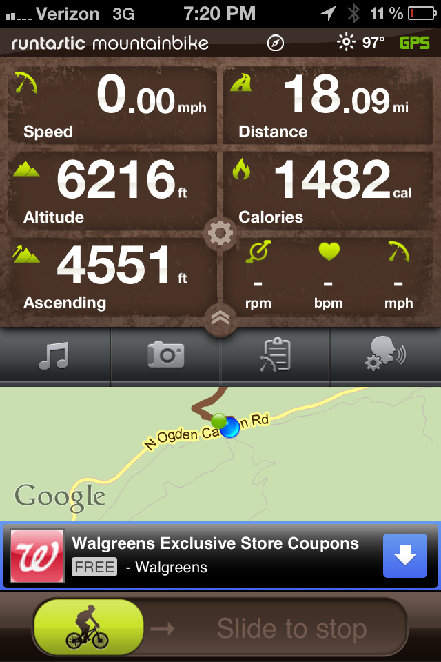
After a nice lunch and a rest we began the 2.5 hour hike back down. Heck of a way to spend an afternoon!
21
I can’t wait to take it on again. Perhaps we’ll do the LH route up and make it to the top after the snow melts.
Oh, and we always welcome company!
Jeremy A

Friday, July 6, 2012

Relic Run 2012


 "SEVENTIES IN THE SWELL"

San Rafael Swell, Utah
6/28-7/1/2012


This year Amie, Rusty and I made it to the 4th annual Relic Run here in Utah. It was our second time out with the gang and we just had a great time in central Utah's desert. 

Rather than putting this posting off until I have the time to write the story I'll just let the photos speak for themselves and add the details to it when I get the time. I will add another few photos that are currently in development as soon as I get em.

All in all it was an absolutely awesome adventurous 4x4 expedition. Next year there is talk that we might go up around Bear Lake.

All lined up and off the pavement!
Gary's Big Bronco blazing through the desert
A short side trip that Alex and us went on down from Swasey's Cabin


Second campsite and location of the relic gear show and shine


Getting down deep in the bottom of the Swell
One of the old mines we stopped at. The place is covered in old uranium mines.


My amazing partner. I love you so much Amie!
Awesome shot of Jeremy's FJ55 rolling through the desert

19 rigs and only one significant failure on the whole trip. Kurt's blue FJ40 made it though.

Temple Mountain
The view from our cots at our last campsite of the trip, just a little slice of heaven right there.
One of the many abandoned cars that are scattered throughout the desert


Pot luck dinner on the third and final night, dang that was some tasty food!


Heading home


Eastern edge as the Swell rises up out of the desert floor.

Last stop refueling and calling the kids. We'll be home in 4 quick hours!
 

Tuesday, June 26, 2012

Epic Mountain Bike Ride

Ben Lomond Peak Utah
6-25-2012


I hadn't planned on making the trek to Ben Lomond Peak today, but after thumbing through the latest issue of Cycling Utah I just couldn't shake the itch to get out and ride. I had, however, been intending to ride to the peak at least one time this summer, and preferably during this, my June, off hitch at home. And even today, when I set out to ride the Ben Lomond Trail, I wasn't sure if this would be the day that I would reach the summit.

A month ago, when I first got my bike home from Louisiana, I rode the canyon road from my house up to the North Ogden Divide trail head/parking lot. It was a brutal climb and one that I wasn't really prepared for. To my surprise, I actually made it to the parking lot and still feeling like I had just a tad bit more in me I decided to give the peak trail a try. I made it about 2 more miles up the road before I ran out of juice, and water.

This was the 4th time I've attempted the peak trail, and the second time I've actually thought about reaching the peak. The first time was nearly two years ago when I set out on foot from the trail head around 4 pm in late summer with Rusty my Golden Retriever. We made it about 4 miles up out of the 9 or so to the peak. As we crested over from the backside to the front the sun was just beginning to set the scene in that beautiful golden glow that comes to the Wasatch just before the setting of the sun. We made it up to Chilli Peak before taking our break and as we rested up the sun dropped below the horizon and being that we didn't even have a flashlight we decided to take advantage of the evening twilight as much as possible on our 4 mile descent. And so there it would stay, to be conquered another day, the Grand Peak in the distance at least another 4-5 miles by my estimations.

In the two years that have passed since that last attempt I have looked up at it most every day--it tends to dominate the view from the front of my home in North Ogden, which I am all too pleased to enjoy!--and I became all the more determined to reach the summit.


The Ascent

And so there I was, the first section from the trail head is what I call the first face. It is about a 1500' climb of maybe 7-10 switchbacks that takes about 1:15 to ascend. As you look down just before crossing over to the backside it feels like you've come along way just to there. 


The second push is what I call the backside which overlooks the North Fork of the Ogden Valley. You finally get into some shade and it is the most densely forested section of the whole route. I looked over to the last switchback I would climb before crossing over to the front side and guessed I'd be there in about 15 minutes. 55 minutes later I reached the front side and for the first time was able to take it out of 1st and 2nd gear.


You really feel like you're on top of the mountain range at this point as you look South towards Mount Ogden, although it is still towering well above you albeit hard to tell in the distance.


The next section is really the third push and what brings you to the base of Ben Lomond's last climb up to the peak. The views of the valley and the Great Salt Lake are inspiring and as you round the bend the great peak stands before you in the distance.


For the first time in 2+ hours you get to actually feel some single track speed as it is a light incline with occasional descending sections. It winds on for a mile or so leading you to Chilli Peak, which is a nice spot to take a break and really take in the view. Another mile or so beyond that comes the fork in the road and the sign giving you directions. This whole 2-3 mile section along the top of the ridge line is my favorite part of the whole ride, and that's in both directions.


It was here, at the sign, where I contemplated turning around and skipping the peak. It said it was another 1.5 miles to the top and from the looks of it I wouldn't be riding any of it. Having come this far, and still being only 5:00 or so with plenty of daylight left I decided it was now or never. (Having read another review of riding this particular section I believed I might at least be able to ride down part of it if I could get my bike to the top with me). And so I pushed on telling myself that I would simply stash it in the trees if it became too difficult to push/carry.

This last section I would estimate rises nearly another 1000 feet or so to the summit and has countless switchbacks which you would likely impact only seconds apart with only one wrong step or slip off the edge. About half of the climb was pushable but I had to shoulder pack the beast the other half. Its a good thing it's fairly lightweight at around 29 lbs or so. There were many sections that were so loaded with baby head sized stones that it was a feat just to make it on foot. At a half mile or so from the top lay one last snowfield which covered the original path, but fortunately many others had forged a new route around it as it was a sure slip and slide 50 feet down or so.


To my delight there were a number of nature's specimens to welcome me on my climb. First were a few different wildflower collections followed by a rather strange looking white bush that moved. And finally a colony of ladybugs who had taken up residence at the very top of the peak.


It turns out that the bush was a mother mountain goat and her babe. They were accompanied by a herd of rather large and somewhat intimidating males further up the trail. I had hoped that I might see some goats as it has been a while since I got up close to em. They are curious enough to let you get within 30 feet or so.


The last push is the most rugged section, as expected. On the way down I wheelie walked/descended the rig this last 1/4 mile before reaching a part that was "rideable". 


And then we made it! It was incredible, the view was absolutely amazing and everything I thought it would be. The whole Wasatch Front stretched out before you to the South. Ogden Valley then Cache Valley to the East. The mighty Willard Peak and Basin before you to the North and then the Willard Bay and Great Salt Lake out to the West.


With cell reception I called home and had the family look through the telescope I had set up in the front yard to see me standing on the top of the world. It was pretty neat when they finally said "wait, are you wearing a white shirt?!". 


Total Ascent Time: approximately 3:30


The Descent

After a nice 30 minutes or so enjoying the top it was time to head home. I estimated about 1:30 from top to bottom and I rolled into the parking lot at around 1:20.

My iPhone bike app tends to suck up a good bit of battery, and I had taken 83 pictures of the trip already, so I really was more focused on enjoying the ride down. The sun had shifted by now and the whole way down the front side and ridge line was golden yellow mixed with the darkness of the bushes' and trees' long shadows. About 1/2 a mile down from the top I was able to get back on and ride, albeit VERY carefully during this section for sure.

Once back at the sign it was a smooth flowing descending path along the ridge line as you roll past rocky cliffs towering just above you. Then once back over on the back side its another 2 miles or so of dirt path before you get to the switchbacks of the first face. Once there it becomes a challenge of endurance with numerous stops to just flex your hands to keep them from cramping in the gripped position. The face is dirt path with mostly jagged rubble and numerous hidden grabbers along the edges. Its a rather difficult, jumbly, shaky section of trail that still takes you 20 minutes or so to descend while riding on the brakes nearly the whole way. The last mile back to the trail head is nicely shaded with mostly smooth dirt and a few drop/jumps along the way.

Total Trip Time: 5:30
Total Vertical Climb: 4551'
Distance: 18.1 mi
(which isn't bad compared to hiking it on foot)


In the end it was the most enjoyable ride I've taken on this bike of mine. It is so amazing to have such an enormous and accessible section of huge mountains right at my front door. Until next time...

Jeremy A